Administrative Boundaries
-
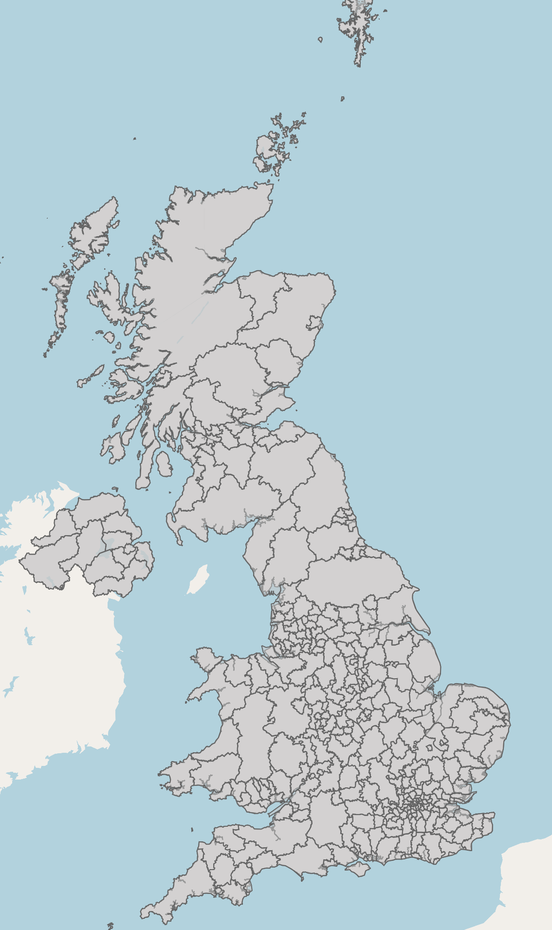
Counties and Unitary Authorities Boundaries - UK
This file contains the digital vector boundaries for Counties and Unitary Authorities, in the United Kingdom, as at May 2023. The boundaries available are: (BGC) Generalised... -
Local Authority Districts - UK
This file contains the digital vector boundaries for Local Authority Districts, in the United Kingdom, as at May 2024. The boundaries available are: (BFE) Full resolution -...
DataMapWales
DataMapWales serves as a source for public sector data in Wales, providing a shared data platform to members of the...
-
Predictive Agricultural Land Classification (ALC) Map 2 - Grade 1 and 2 - Wales
The Predictive ALC map for Wales is based on the principles of the Agricultural Land Classification System of England & Wales, the Revised Guidelines & Criteria for... -
Listed buildings - Wales
1.1 Background Buildings and structures of national importance are given legal protection by being placed on a ‘List’ of Buildings of Special Architectural or Historic Interest....